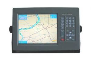

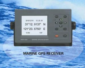
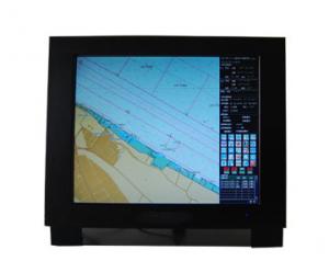
Marine GPS Navigator 1010
- Ref Price:
-

- Loading Port:
- China Main Port
- Payment Terms:
- TT or LC
- Min Order Qty:
- 1 Set/Sets set
- Supply Capability:
- 1000 Set/Sets Per Year set/month
OKorder Service Pledge
OKorder Financial Service
You Might Also Like


|
Physical & Performance | |
|
Unit dimensions, WxHxD |
5.9" x 6.1" x 2.4" (15.0 x 15.5 x 6.1 cm) |
|
Display size, WxH |
3.0" x 4.0", 5.0" diagonal (7.6 x 10.2 cm, 12.7 cm diagonal) |
|
Display resolution, WxH |
480 x 640 pixels |
|
Display type |
VGA display |
|
Weight |
1.7 lb (0.8 kg) |
|
Battery |
none |
|
Battery life |
none |
|
Waterproof |
Yes (IPX7) |
|
High-sensitivity receiver |
Yes |
|
Antenna |
internal |
|
NMEA input/output |
NMEA 0183 compatible and NMEA 2000® certified |
|
Power consumption |
0.6A at 12V; 0.3A at 24V 0.8A at 12V; 0.4A at 24V (with sonar)
|
|
Maps & Memory | |
|
Basemap |
Yes |
|
Preloaded maps |
No |
|
Ability to add maps |
Yes |
|
Built-in memory |
none (cannot load maps to internal memory) |
|
Accepts data cards |
dual microSD™ card slots |
|
Waypoints/favorites/locations |
5,000 |
|
Routes |
100 |
|
Track log |
50,000 points; 50 saved tracks |
|
Features & Benefits | |
|
Touchscreen |
Yes |
|
Supports AIS (tracks target ships' position) |
Yes |
|
Supports DSC (displays position data from DSC capable VHF radio) |
Yes |
|
Audible alarms |
Yes |
|
Tide tables |
Yes |
|
Hunt/fish calendar |
No |
|
Sun and moon information |
Yes |
|
Automatic routing (turn by turn routing on roads) |
No |
|
Headphone jack/audio line-out |
No |
|
Audio/video input/output |
No |
|
Portable |
No |
|
Automotive/motorcycle-friendly |
No |
- Q: I was playing in the era of OL navigation with the wizard button in how to set a more accurate route. Do not use sacred navigation, I would like to use a pure key simulation, there is no call memory, set, I hope the master to help me think of ideas, grateful
- I don't think it's good for him to go there without divine navigation.... Basically do not hang JJC do not have this.
- Q: also do navigation aviation related products, which is the key?
- The Garmin product positioning is, outdoor communications products, so it is difficult to say which is the key, take the following data contrast:Unit sales accounted for in the fourth quarter of 2016Car navigation mobile device 11.43%Aviation equipment 5.11%Fitness equipment 24.12%Navigation equipment 27.05%Outdoor equipment 11.29%Which car navigation and mobile terminal device is the overall share of the decline, the rest are in a state of steady rise.
- Q: How is a ship guided by a compass in navigation
- According to the number of degrees on the ship the ship can maintain a degree of value without changing the straight line navigation not to trek
- Q: Custom navigation navigation
- Loran long range navigation (Loran) is a kind of navigation system developed by the United States for long distance navigation of military carrier. At present, it is widely used in civil aircraft, ship and vehicle navigation. Loran-C is a common version. In Russia there is a similar navigation system, called Chayaka. Loran system is generally a station (Master, M) combined with 2 ~ 5 from the station (secondary station, W, X, Y, Z, etc.) to provide a wide range of navigation services. Time synchronization of each platform by cesium atomic clock. In addition to providing navigation services, Loran also provides clock calibration services. The effective range of Loran in the sea is 2000 ~ 3000 km.
- Q: How did ancient people navigate and navigate
- Around 1250, the marine magnetic compass has been developed to continuously measure all horizontal directions with an accuracy of less than 3 degrees. But the magnetic compass is not widely accepted by europeans. It is not yet possible to scientifically explain why a pointer is "found" in the north, and it is soon to be found that the north is often inaccurate. Because they do not know the iron needle refers to the magnetic north pole, not the true north (during the angle is called magnetic declination). At that time, people could not explain these phenomena, so they did not believe in the compass in an unknown place. Therefore, the original compass is very mysterious, the general sailors do not dare to use the sea, only those bold and cautious captain secretly used, put it into a small box, not to let others see. The compass is widely used in Europe, is the late thirteenth Century.
- Q: Compass? And how did the World War II fighters return to base? Radio?
- To be commanded by a plane,Sea navigation chart compass and surveying and mapping latitude and longitude tools used to determine the location of the fighter by the special line of communication channels call each other
- Q: What is the main way for submarines to navigate underwater?1 radar2 satellite system3.GPRS4 inertial system
- The other is a radio navigation equipment. It is the use of electromagnetic wave information outside the navigation station, can all-weather navigation instrument, the reliability of the equipment itself, such as the positioning speed. Radio direction finder (also known as radio compass), positioning it to the known distribution of coastal radio measurement of azimuth angle, multi for ships in offshore navigation; radio locator, such as Loran C, Omega Navigation System, the former is the use of radio signals, according to the principle of the hyperbolic positioning instrument, but it must have two fixed shore stations. The latter is with the use of navigation system based on the principle of phase delay, the system has 8 launch Taiwan all over the world, with extremely long wavelength synchronous transmission, the submarine can not receive antenna will rise out of the water can receive the signal for positioning; satellite navigation system is used for receiving the radio navigation satellite launch A device for calculating the position of a personThe radio navigation system is the navigation station's launch waves depend on the shore, if the launch pad is damaged or failure, there will be a large blank area; and susceptible to interference, can not provide the ship heading and attitude information. Although the global coverage of satellite navigation system positioning, high precision, subject to the antenna rises to the surface of the water above, its safety is still questioned by other countries; if the use of satellite, no autonomy.
- Q: Hello everyone!I would like to ask the current navigation C/A code GPS receiver can achieve the positioning accuracy is how much?98 years ago, the accuracy is 15m, the new literature is not seen.Thank you very much
- Geodesic receiverGeodesic receivers are mainly used for precision geodesy and precision engineering surveying. This kind of instrument mainly usesThe relative positioning of the wave phase observation value is high. Instrument structure is complex, the price is more expensive.Timing receiverThis kind of receiver mainly uses the GPS satellite to provide the high accuracy time standard to carry on the time service, commonly used Yu TianwenTime synchronization in Taiwan and radio communications.Classification by carrier frequencyYour reference ~ ~ ~ ~ ~ ~ ~ ~ AINo more on the Baidu search, in the Baidu page input [navigation C/A code GPS receiver accuracy] on the line
- Q: Is there any navigation aid in the era of OL? Download address!
- With the plugin not too high, backfire, repent and be saved.
- Q: it is best to be able to open, can automatically follow, like the kind of sacred navigation. To be able to serve the country.
- National service has not yet assisted,But you have to believe that the talent of China is infinite. It won't be long before someone comes out
1. Manufacturer Overview
| Location | Jiangsu,China |
| Year Established | 2008 |
| Annual Output Value | US$1 Million - US$2.5 Million |
| Main Markets | Mid East;Eastern Europe;South America |
| Company Certifications |
2. Manufacturer Certificates
| a) Certification Name | |
| Range | |
| Reference | |
| Validity Period |
3. Manufacturer Capability
| a) Trade Capacity | |
| Nearest Port | Shanghai |
| Export Percentage | 81% - 90% |
| No.of Employees in Trade Department | 150 |
| Language Spoken: | English, Chinese |
| b) Factory Information | |
| Factory Size: | Above 20,000 square meters |
| No. of Production Lines | 20 |
| Contract Manufacturing | OEM Service Offered;Design Service Offered |
| Product Price Range | Average |
Send your message to us
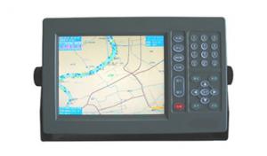
Marine GPS Navigator 1010
- Ref Price:
-
- Loading Port:
- China Main Port
- Payment Terms:
- TT or LC
- Min Order Qty:
- 1 Set/Sets set
- Supply Capability:
- 1000 Set/Sets Per Year set/month
OKorder Service Pledge
OKorder Financial Service
Similar products
Hot Searches
Related keywords

