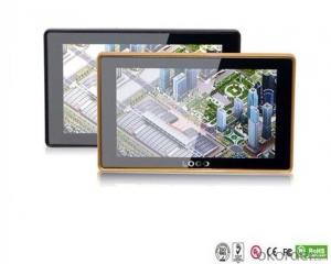
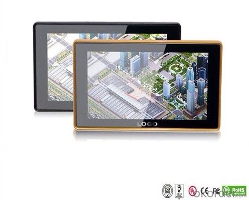
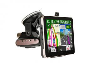
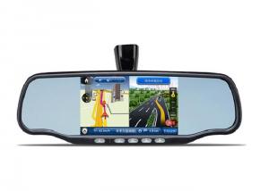
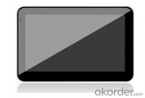
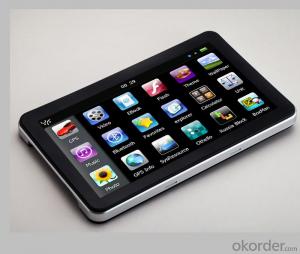
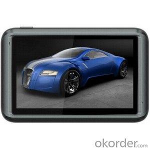
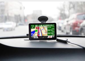
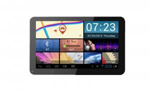
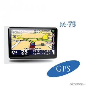
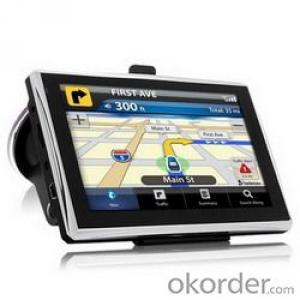
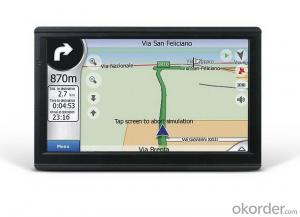
GPS PND 5 inch Bluetooth FM AVIN
- Loading Port:
- China Main Port
- Payment Terms:
- TT OR LC
- Min Order Qty:
- -
- Supply Capability:
- -
OKorder Service Pledge
OKorder Financial Service
You Might Also Like
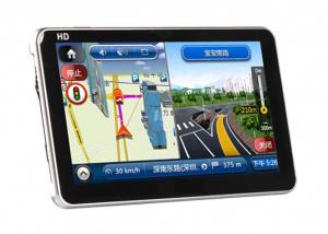
GPS 5 inch with bluetooth Description
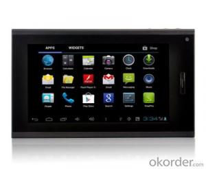
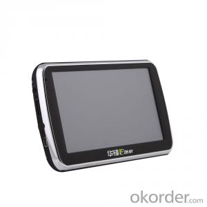
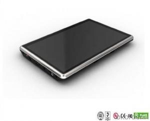
Appearance | Display | 5" high solution TFT Touch LCD 800*480 pixels |
Size | 130*85*15mm | |
Weight | ~300g | |
System | CPU | CPU: MTK, 500 MHZ |
GPS Module | SiRF ATLAS III 20 Channel (SiRF is the most used and famous GPS technology company brand) | |
SDRAM | 128MB | |
Antenna | Built-in high sensitive, 0.1m/sec | |
Memory Slot | Micro SD/TF Card, support up to32GB | |
USB Slot | USB Client 2.0, mini USB port | |
Earphone output | 3.5mm | |
GPS accuracy: | Position - Less than 10 meters (33 feet), 95% typical velocity - 0.1 meters per second steady state | |
O/S system | WinCE NET 5.0 | |
Function | FM Transmitter: | Play music on the TF card over your car radio system |
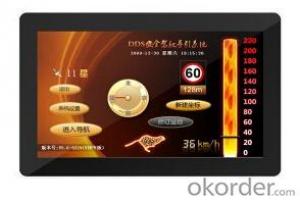
GPS: | Support 2D and 3D map over world | |
Video: | MP4, WMV, AVI, MPEG, ASF, 3GP | |
Audio: | WMA/MP3, Build in speaker | |
Photo: | JPG, BMP, PNG, GIF | |
E-book File: | TXT | |
Game | More than 10 Games. | |
AVIN (optional): | Connect with video signal | |
Bluetooth (optional): | Handfree phone | |
Digital TV (optional): | ISDB-T | |
Language: | Multi-language for device, map program and audio guidance: Supports Chinese, English, German, French, Spanish, Dutch, Hungarian, Czechs, Danish, Norwegian, Swedish, Portuguese, Italian, Japanese, Finnish, Romanian, Greek, Russian, Polish… | |
Battery | Built-in rechargeable Li-battery 1250mAh |
- Q: Civilian GPS accuracy in 10 meters or so, how to achieve accurate positioning navigation? Is the signal received by the GPS sent by satellite or sent from other places? If it were sent by satellite, what's the difference between the GPS on the car and the handheld GPS? Is it authorized?Please explain!
- The GPS satellite signal receiving chip, it can signal through the antenna and receive a plurality of GPS satellites broadcast, through the analysis of the signal will be able to know the distance between the car and the satellite, and know the exact position of the satellite in the center of the earth. Through complex calculation, you will know your position and time. Then you can find the location on the map and plan the way to the destination.
- Q: Car GPS navigator, which brand is better?
- That is to find a special export brand, and recommend to you "INNVO" this brand, the main export
- Q: I bought a 2 NISSAN Teana, car DVD is converted up (no brand. With GPS navigation,...). Friends DVD's memory card to help download songs, the inside of the mess of documents are deleted, and now the navigation can not be used (there is navigation on the screen, but the press did not react, touch screen). I would like to ask you, what is the program deleted, or deleted the map, if you delete what should I do? Please explain it, thank you!
- Upstairs is correct, ha ha.Careland map folder: NaviOneCityonmap map folder: CJTRoad map folder: RatiYou insert your memory card into your computer to see if there are any map folders in it. No, you need to reinstall it.
- Q: Open navigation interface, there is no map display, there is a satellite, that is, the light shows their own arrows, the other blank
- May be SD card or card software, a problem, the general GPS has a reset hole (reset), first with a pencil like the kind of poke, reset it, try, if not look at instructions.
- Q: Is the new Carnival special navigator, other functions can also be careless, GPS signal reception is poor, sometimes have to wait to receive ten minutes before, hoped the knowledgeable friends can instruct me. Thanks in advance.
- You don't put it in the right place, or there might be something wrong with the antenna. Better try it on the open ground. If the location is fast, try again in the car!If the signal is bad at once, go to the dealer for another one
- Q: Does vehicle navigation require traffic? Do you need money?
- Not all free upgrades, when the money
Send your message to us
GPS PND 5 inch Bluetooth FM AVIN
- Loading Port:
- China Main Port
- Payment Terms:
- TT OR LC
- Min Order Qty:
- -
- Supply Capability:
- -
OKorder Service Pledge
OKorder Financial Service
Similar products
Hot products
Hot Searches
