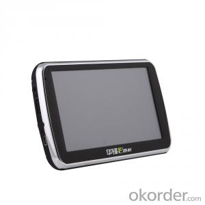
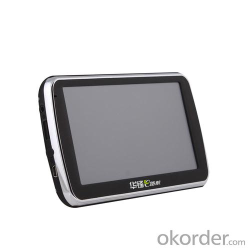
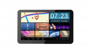
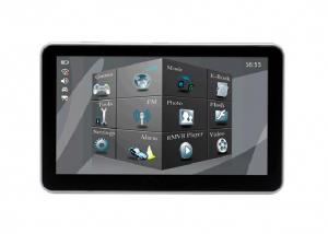
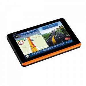
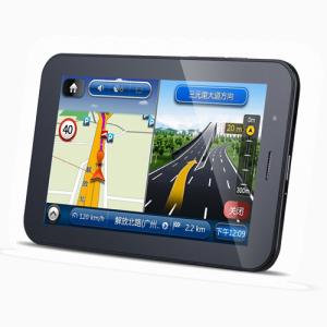
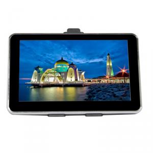
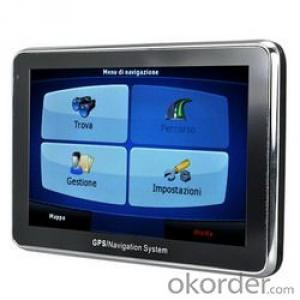
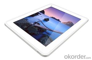
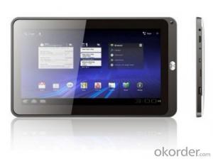
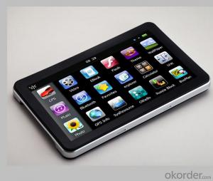
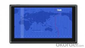
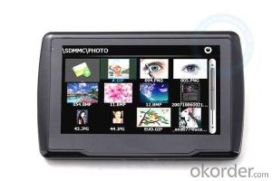
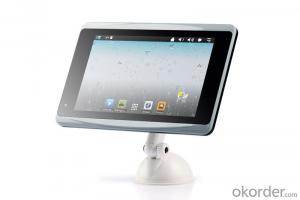
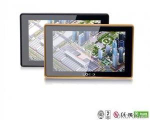
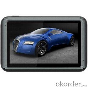
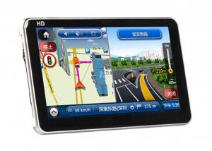
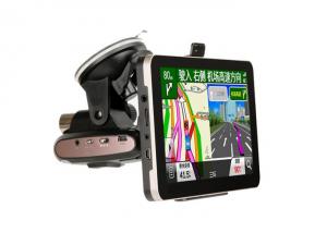
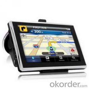
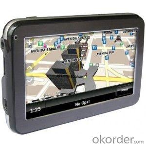
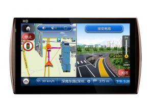
5“ Android GPS Navigation with AVIN Bluetooth
- Loading Port:
- China main port
- Payment Terms:
- TT OR LC
- Min Order Qty:
- 50 unit
- Supply Capability:
- 4000 unit/month
OKorder Service Pledge
OKorder Financial Service
You Might Also Like
Product Description:
Specifications of 5 Inch Portable Car Android Tablet GPS
Appearance | ||
Display | Size | 5.0” TFT, Support full-touched control、full hand-writing |
Resolution | 800*480 Pixels | |
Module | Capacitive Touch Panel (Support 5 Points Touch) | |
Backlight | Adjustable | |
Size | 195*121*10.4mm | |
Net Weight | 415g | |
System | ||
Solution | A10 Cortex A8 1.2Ghz | |
OS | Android 4.0.4 | |
SDRAM | DDR3 512MB | |
NAND Flash | Built-in 8GB | |
Expansion memory | MAX 32G TF card | |
Function | ||
Strong Points | G-Sensor | 360 Degree Support |
Application Software | Support | |
3G | Support external 3G( WCDMA EVDO TD-SCDMA), USB-DONGLE | |
GPS Navigation | Support, Free Map | |
FM Transmitter | Support | |
Tools | Audio, Video, Picture, E-book, Sound Recording, Calendar, Alarm Clock, Calculator, Recorder | |
Front Camera | 2M Resolution | |
WIFI | IEEE 802.11b/g | |
Power | Travel charger | INPUT:AC 100-240V,OUTPUT:DC 5V /2A, Frequency:50-60Hz |
Charge Mode | External DC POWER | |
Battery | Lithium Polymer Batteries 2800mAh/3.7V, | |
Working time | About 3 Hours | |
Accessories | ||
GPS/ Vehicle Power Charger/ Mount/ Bracket/ USB Cable/ Touch Stick/Earphone | ||
- Q: Civilian GPS accuracy in 10 meters or so, how to achieve accurate positioning navigation? Is the signal received by the GPS sent by satellite or sent from other places? If it were sent by satellite, what's the difference between the GPS on the car and the handheld GPS? Is it authorized?Please explain!
- The GPS satellite signal receiving chip, it can signal through the antenna and receive a plurality of GPS satellites broadcast, through the analysis of the signal will be able to know the distance between the car and the satellite, and know the exact position of the satellite in the center of the earth. Through complex calculation, you will know your position and time. Then you can find the location on the map and plan the way to the destination.
- Q: Car GPS navigator, which brand is better?
- What kind of car is yours? Consider Shenzhen prosperous gold version of the navigation, this is my car with good sound. English can be set up
- Q: I bought a 2 NISSAN Teana, car DVD is converted up (no brand. With GPS navigation,...). Friends DVD's memory card to help download songs, the inside of the mess of documents are deleted, and now the navigation can not be used (there is navigation on the screen, but the press did not react, touch screen). I would like to ask you, what is the program deleted, or deleted the map, if you delete what should I do? Please explain it, thank you!
- What is the first look at the map, and then check whether there is a crack version, give you recommend a website, toss it, there are a lot of crack map inside, and then only need to know the port baud rate can be used, such as port COM2 9600 baud rate, if you don't know can download a check port software on the Internet, no name Oh, look up, with the corresponding map, inserted above the machine and then set the path, if no star search word is not on the port and baud rate. In addition, the antenna as far as possible to pull out of the car to try, in the open space to see how the signal, generally slow within 10 minutes can be found.
- Q: Open navigation interface, there is no map display, there is a satellite, that is, the light shows their own arrows, the other blank
- Did you enlarge the map?
- Q: Is the new Carnival special navigator, other functions can also be careless, GPS signal reception is poor, sometimes have to wait to receive ten minutes before, hoped the knowledgeable friends can instruct me. Thanks in advance.
- In the exclusion of weather reasons (thicker clouds) of the navigation signal to receive the inherent impact, in daily use, many owners also have a certain use of errors. The most common habit is to open the navigator and drive immediately to search for satellite signals on the road. However, it has been proved that the method of receiving signals while driving is several times slower than the normal acceptance of the vehicle.The correct approach should be to park the vehicle in a relatively open position. In the stationary state of the vehicle, first open the navigator and set it up. In general, the speed of star insertion is generally not more than ten minutes even after a cold start (such as opening the night before and opening in the morning). Drive after you find the satellite signal. Some owners love in the underground parking lot vehicle is started, the first open car navigator, such as the ground, think it can receive the signal, this practice effect is the same as above, it is difficult to quickly find the signal.The navigator in the use of six months to a year or so, if you keep the right way, still found the phenomenon of signal receiving speed, can go to the dealer to explain the situation, and ask the person to replace the antenna. In addition, you can also add your own external antenna. This external antenna is actually equivalent to the navigator to increase the signal amplification function.
- Q: Does vehicle navigation require traffic? Do you need money?
- Not all free upgrades, when the money
Send your message to us
5“ Android GPS Navigation with AVIN Bluetooth
- Loading Port:
- China main port
- Payment Terms:
- TT OR LC
- Min Order Qty:
- 50 unit
- Supply Capability:
- 4000 unit/month
OKorder Service Pledge
OKorder Financial Service
Similar products
Hot products
Hot Searches
Related keywords
