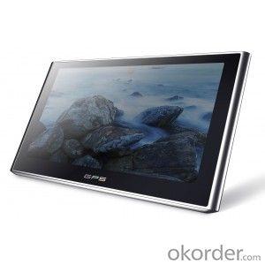
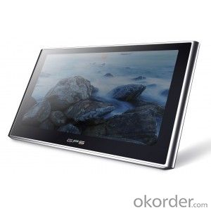
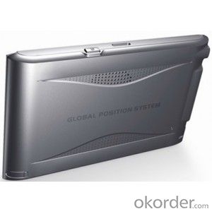
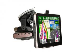
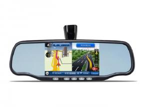
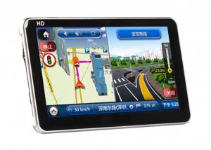
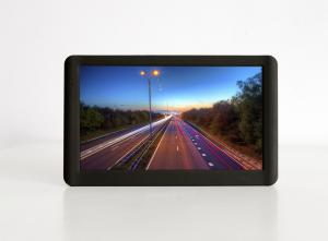
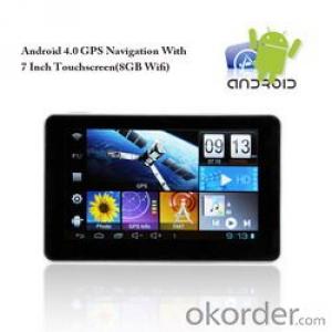
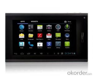
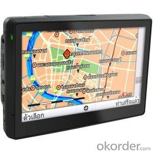
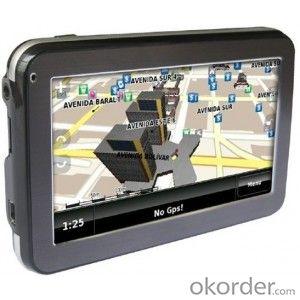
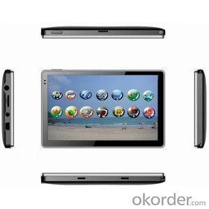
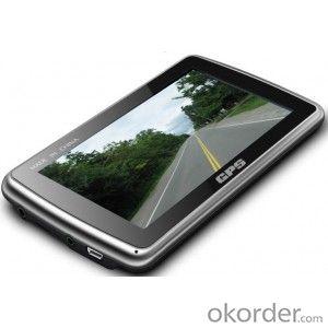
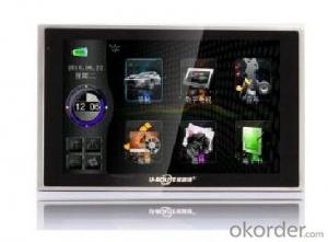
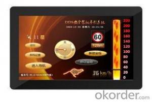
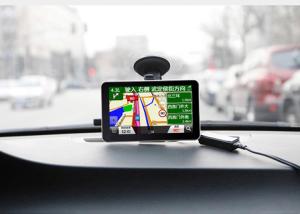
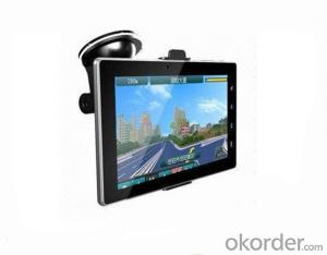
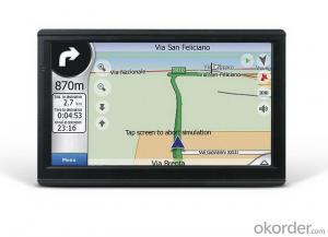
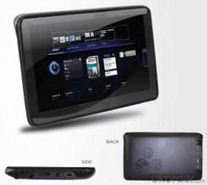
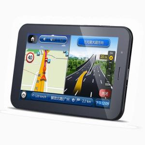
Hot 5 inch car gps navigator with bluetooth all country map support
- Loading Port:
- China Main Port
- Payment Terms:
- TT OR LC
- Min Order Qty:
- -
- Supply Capability:
- -
OKorder Service Pledge
OKorder Financial Service
You Might Also Like
5 inch car gps navigator with bluetooth all country map support 4GB SD card
1.5.0 inch 16.9 TFT display,high-sensitive touch panel
2.OS. win CE 6.0
3.RAM.128 MB(DDR2)/128MB(optional)
4.flash rom. 4GB
5.Multi-media playback, to enjoy MP3/MP4 playback
6.Support picture browsing and text reading
7.Blutooth hand-free function (optional) , support DUN(optional)
8.build-in FM transmit
9.Digital TV ISDBT,DVB-T(optional)
10.FM trasnmitter.full frequncy 76-108MHZ,effective distance<10m
11.Av-in(option)
Language:
English, German, French, Spanish, Dutch, Hungarian, Czech, Danish, Norwegian, Swedish, Portuguese, Italian, Finnish, Romanian, Greek, Russian, Polish, Slovak, Hebrew,Arabic
Accessories:
Car power and Switching Power adapter,USBcable,Earphone,Bracket ,Manual
Specification:
CPU | MediaTek MTK912S 800MHZ |
Flash Memory | 128MBytes |
Memory | 4Gbytes maximum support 32G |
LCD | 5.0 inch TFT screen, Resolution: 800RGB (H) x 480 (V) |
Touch Screnn | High wear-resistant touch screen |
USB | USB Client 2.0, MINI USB Interface |
T-flash | T-FLASH slots, maximum capacity to support T-FLASH card up to 16GB |
Audio | Built-in high-fidelity speakers high-fidelity stereo headphones |
GPS | Cold start: <42 seconds |
Hot start: <3 seconds (in the open area) | |
Warm start: <36 seconds | |
Battery | Built-in lithium battery |
Battery charging port | 5V DC Power Interface |
Power adapter | 100/230V universal power adapter 5 V / 1.5 Amps |
Car Charger | DC9-24 V switch to 5 V / 1.5 Amps |
LED status lights | Insert the power adapter, the battery charging (red LED lights, blue LED light off) |
Insert the power adapter, the battery is fully charged (red LED lamp, the blue LED lights) | |
System Platform | Microsoft Windows CE 6.0 |
Nacigation software | T-Flash Card |
Video Player software | Support MPEG4, Divx 5.0, 4.0, 3.11, Xvid and MPEG2 (maximum 800 * 480 resolution) |
Video Player Software | Supports MP3 and WMA format |
Picture browser software | Electronic album, support JPG, GIF, BMP, PNG format |
Ebook reading software | Support TXT format files |
System seting | [Background light adjustment] [Volume Adjustment] [Language set] [FM launch] [time setting] [Screen Calibration] [System Information] [factory setting] |
Temperture range | Operating temperature: 0 °C to 60 °C Storage temperature: -20 °C to 60 °C |
Operating humidity range | 45% to 80% RH |
STORAGE HUMIDITY RANGE | 30% to 90% RH |
Atmospheric pressure | 86KPa to 106KPa |
- Q: Civilian GPS accuracy in 10 meters or so, how to achieve accurate positioning navigation? Is the signal received by the GPS sent by satellite or sent from other places? If it were sent by satellite, what's the difference between the GPS on the car and the handheld GPS? Is it authorized?Please explain!
- We use the GPS receiver, handheld and vehicle, in addition to the model power, there is no difference, is the direct receipt of satellite signals, the use of satellites is a civilian satellite, should belong to the license.
- Q: Car GPS navigator, which brand is better?
- What kind of car is yours? Consider Shenzhen prosperous gold version of the navigation, this is my car with good sound. English can be set up
- Q: I bought a 2 NISSAN Teana, car DVD is converted up (no brand. With GPS navigation,...). Friends DVD's memory card to help download songs, the inside of the mess of documents are deleted, and now the navigation can not be used (there is navigation on the screen, but the press did not react, touch screen). I would like to ask you, what is the program deleted, or deleted the map, if you delete what should I do? Please explain it, thank you!
- Upstairs is correct, ha ha.Careland map folder: NaviOneCityonmap map folder: CJTRoad map folder: RatiYou insert your memory card into your computer to see if there are any map folders in it. No, you need to reinstall it.
- Q: Open navigation interface, there is no map display, there is a satellite, that is, the light shows their own arrows, the other blank
- GPS vehicle navigation system which ah, settimio. The map is not piracy, suggest or buy brands, such as: China, Huayang what caska, Philco. These brands are very good, the national market doing well, quality is good, service is also very good.
- Q: Is the new Carnival special navigator, other functions can also be careless, GPS signal reception is poor, sometimes have to wait to receive ten minutes before, hoped the knowledgeable friends can instruct me. Thanks in advance.
- In the exclusion of weather reasons (thicker clouds) of the navigation signal to receive the inherent impact, in daily use, many owners also have a certain use of errors. The most common habit is to open the navigator and drive immediately to search for satellite signals on the road. However, it has been proved that the method of receiving signals while driving is several times slower than the normal acceptance of the vehicle.The correct approach should be to park the vehicle in a relatively open position. In the stationary state of the vehicle, first open the navigator and set it up. In general, the speed of star insertion is generally not more than ten minutes even after a cold start (such as opening the night before and opening in the morning). Drive after you find the satellite signal. Some owners love in the underground parking lot vehicle is started, the first open car navigator, such as the ground, think it can receive the signal, this practice effect is the same as above, it is difficult to quickly find the signal.The navigator in the use of six months to a year or so, if you keep the right way, still found the phenomenon of signal receiving speed, can go to the dealer to explain the situation, and ask the person to replace the antenna. In addition, you can also add your own external antenna. This external antenna is actually equivalent to the navigator to increase the signal amplification function.
- Q: Does vehicle navigation require traffic? Do you need money?
- No traffic, look at what brand of navigation you use, some navigation can update their own, do not have money, some navigation to go, they update the official website for money
Send your message to us
Hot 5 inch car gps navigator with bluetooth all country map support
- Loading Port:
- China Main Port
- Payment Terms:
- TT OR LC
- Min Order Qty:
- -
- Supply Capability:
- -
OKorder Service Pledge
OKorder Financial Service
Similar products
Hot products
Hot Searches
Related keywords
