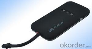
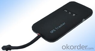
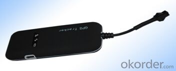
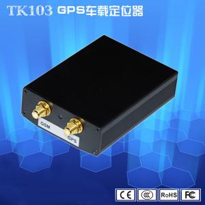
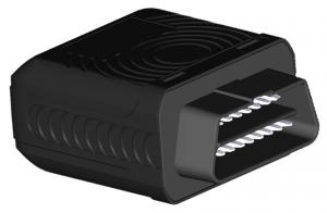
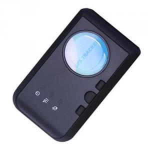
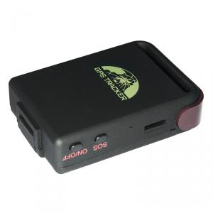
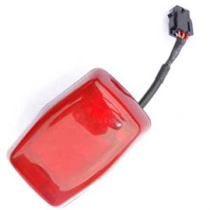
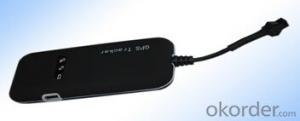
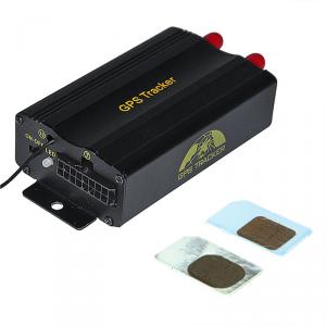
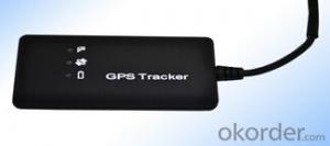
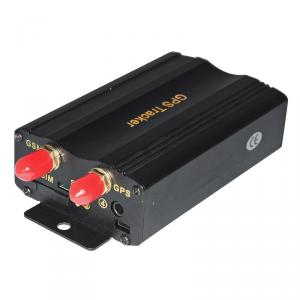
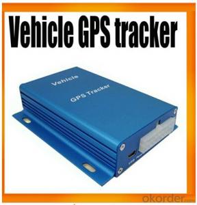
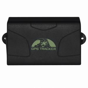
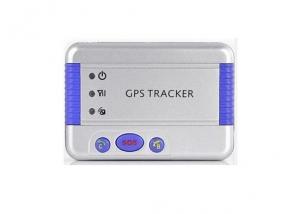
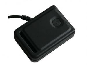
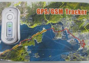
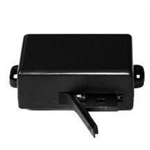
Vehicle GPS Tracker 101
- Loading Port:
- China Main Port
- Payment Terms:
- TT OR LC
- Min Order Qty:
- -
- Supply Capability:
- -
OKorder Service Pledge
OKorder Financial Service
You Might Also Like
●Prevent abuse and save expenses
●Prevent theft and check current locction of the vehicle whenever necessary
●Ensure ownr's safety and assist the police in finding the scene of the accident for further relieve
●Prevent the goods from theft and reack playback the stop period at each place
●A key to emergency calls,SMS location tips;
●Ensure the safety of the driver and venhicle and reduce maintenance and repair cost
●For family care,let the family rest assured
Product Features
● Individual or fleet GPS polling
● Worldwide use
● Supports GSM frequencies 900/1800/1900MHz or 850/900/1800/1900MHz
● High-sensitivity, latest technology and the most advanced GPS chip
● Can accurately position even if with weak signal
● Can work effectively in limited space such as the remote and narrow places;
● compact size, easy for hiding
● Low energy consumption
● Fast signal capturing
● supports two modes: text message polling and GPRS trace tracking
● Alarm function
● SOS button
| GSM FREQUENCY | 900/1800/1900MHz or 850/900/1800/1900MHz |
| GPS CHIPS | SIRF Star III |
| GPRS | Class 12, TCP/IP build in GSM MODULE |
| GPS SENSITIVITY | -159dBm |
| GPS ACCURACY | 10m(2D RM) |
| GSM ACCURACY | 50-200m |
| SPEED ACCURACY | 0.1m/s |
| COLD STATUS | -38s |
| WARM STATUS | -32s |
| HOT STATUS | -2s |
| MAXIMUM ALTITUDE | 18000m |
| HIGHEST SPEED | 515m/s |
| ACCELERATION OF GRAVITY | ﹤4g |
| SIZE | 90.00(L) x 45.0(W) x12.0(H) mm |
| WEIGHT | 45g |
| WORKING TEMPERATURE | -20--+70℃ |
| HUMIDITY | 20%---80%RH |
| VOLTAGE | 7—30v DC |
| CURRENT | ~60mA(12v DC) ~35mA(24v DC) |
| STUANDY AVERAGE CURRENT | <80MA |
| LED | LED indicate GPS、GSM working status or other condition |
- Q: What are the reasons for the GPS locator offline?
- Fifth points, sixth points GPS antenna broken. GPS module with reduced sensitivity, unable to locate the seventh point, the GPS locator installed in the vicinity of a metal object, such equipment is unlikely to GPS satellite signal emitted by the. I believe we have to explain, "GPS locator offline what are the reasons for this question should have a certain answer.
- Q: Want to install a car battery GPS locator to how much money
- A, GPS locator to achieve positioning function requires three indispensable elements:1, GPS locator hardware device;2, the transmission network (commonly used in the United States and the United States card, SIM card);3, show the location of the GPS platform software;
- Q: Mobile phone can be tracked after the closure of the GPS?
- General principle: mobile phone base station positioning is switched on when the mobile phone search different communication base station signal near the location, to get different mobile phone communication base station TOA (Time of Arrival, at the time) or TDOA (Time Difference of Arrivalm, the time difference of arrival), according to the measurement results and combined with the base of latitude and longitude coordinates generally use the triangle algorithm, we can calculate the location of mobile phone. The actual location estimation algorithm needs to consider the multi base station (3 or more than 3) positioning, so the algorithm is much more complicated. In general, the number of mobile phone search to the base station, the higher the measurement accuracy, the higher the positioning performance.
- Q: GPS locator to buy a new phone, hang up no positioning messages sent to. But after the call can hear each other's voice. Ask you God, what situation
- 1, the phone must not hang up SMS ah2, to listen to the voice of the other party, it is necessary to set a good center number, and then call on the OK, as you said, after the call to hear each other's voice
- Q: Mobile GPS positioning official certification 837706606 is true
- Mobile GPS positioning itself is true. Said the positioning of others, it is not necessarily true, there are many people, many. But on the whole can grasp:
- Q: Mankiw and strong GPS satellite positioning way which is good
- General GPS terminal (about 400 yuan) + a traffic card (opened a package of $5 a year) + software (see if it is free). Each fee is different, but generally 500 - 600 get.
- Q: GPS locator what brand is good RF
- There are a lot of Suzhou Ling Ya Technology and fine positioner type: A5C3 long standby wireless GPS, KM-02 vehicle GPS positioning terminal, A5C5 wireless WIFI, long standby GPS KM01 universal car GPS positioner, A5E-3 long standby GPS wireless charging, wireless charging,
- Q: How much is the platform cost per month after the installation of GPS positioning system
- Sun Beidou does not need platform fees, free GPS positioning system platform
- Q: How to locate the car car
- Automobile GPS installation method:Step 1: find the lineCheck the positioning terminal accessories and wiring tools are complete.Standard GPS locator only 4 lines need to be connected, so the first car in the following bold font to find a few lines.GPS locator red line - car DC12/24v constant electricityGPS locator black line - Automotive anode / wireGPS locator white line - car ACC/ key line (detection engine switch state, will be connected)GPS locator yellow line - car oil line / oil line (can be connected without access)
- Q: Model: Transit strong ET100Fault description: buy to use less than half a year, the last 2 months has been dropping, at first I thought it was a bad signal did not care, by the beginning of a line a few minutes to a few hours, and then to now is the last connection in August 20th, has dropped for 12 days, I went to search not rib. To the star, or the SIM card arrears, another card is also suitable for this kind of situation, dropped call GPS phone tip off. For the cause of the fault analysis and solutions, I think most of the machine is a problem, it is understood that maintenance?
- A line is not good, bad contact, two machines have problems,
Send your message to us
Vehicle GPS Tracker 101
- Loading Port:
- China Main Port
- Payment Terms:
- TT OR LC
- Min Order Qty:
- -
- Supply Capability:
- -
OKorder Service Pledge
OKorder Financial Service
Similar products
Hot products
Hot Searches
Related keywords
