


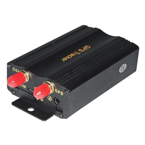

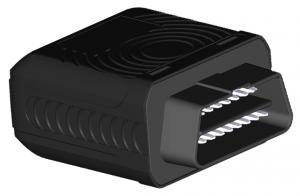
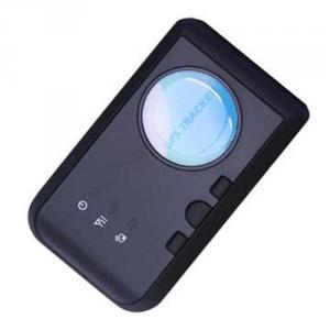
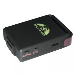
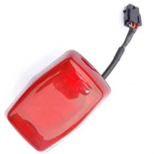
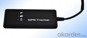
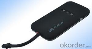
GPS Vehicle Tracker 103
- Ref Price:
-

- Loading Port:
- China Main Port
- Payment Terms:
- TT OR LC
- Min Order Qty:
- -
- Supply Capability:
- -
OKorder Service Pledge
OKorder Financial Service
You Might Also Like
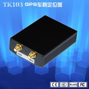


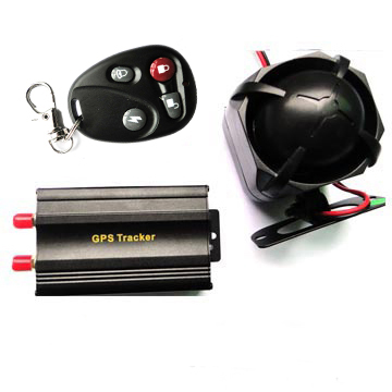
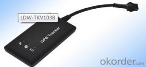
GPS Tracker,which set multiple functions of accurately positioning,security, monitoring surveillance, emergency alarms and tracking in its entirety,special for vehicle.
The product fully supports the functions of SMS / GPRS / Internet data transmission,to make it more widely used in large-scale monitoring, emergency scheduling, location-based services, traffic safety and many other areas of management.
Detailed description:
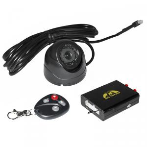
It is based on GSM/GPRS(850/900/1800/1900MHZ)wireless telecommunication internet and GPS satillite global position system,track by several ways.provide monitor software and global map.real-time track through the monitor software in your pc;track through your PDA cell phone and googleearth.
Function:
Authorization
Single Locating
Auto track continuously
Track with limited times upon time interval
Track with unlimited times upon time interval
Smart track upon time and distance interval
Automatic update positions of vehicle turns
GPS drift suppression
Absolute street address by SMS
Location based service (LBS)
Monitor
Data logging
Data Load
Forward the third parties’ message
Charges Inquiry
Low battery alarm
Power off alarm
GPS blind Spot alert
SOS
Geo-fence
Multi-area management
Movement alarm
Over speed alarm
Accident alarm (Option)
ACC working alarm
Fuel alarm
Cut off the Oil and Power System
Arm
Disarm
Alarms under Arm State
Door alarm
Shock Sensor alarm
ACC alarm
Silent Mode
Alarm without GSM network service
Check the Vehicle State
Reset Hardware
Sleep Mode
Terminal (local) Time Setting
TCP/UDP switch
Configure parameters by USB
GPRS Setting
Less GPRS traffic
Modes Switch between SMS and GPRS
Set up monitor center number
- Q: GPS locator has a mobile phone card can automatically transmit voice
- Car GPS locator, you can connect a microphone head, so you can listen to the sound around the device! But the device needs to support the listening function, the proposed selection of R & D manufacturers, the latter has technical support!
- Q: How to locate the location of a private car with a mobile phone?
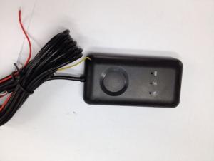
- Automobile GPS installation method:Step 1: find the lineCheck the positioning terminal accessories and wiring tools are complete.Standard GPS locator only 4 lines need to be connected, so the first car in the following bold font to find a few lines.GPS red line, locator DC12/24v constant electric carGPS line, locator black car / ground wire electrodeGPS white line, locator car line (ACC/ key switch state detection engine, will take)GPS yellow line, locator car oil / oil line route (which can be accessed by)
- Q: At present, the global positioning system (GPS), vehicle positioning accuracy can be increased to less than 3 meters, if so, what is the theoretical basis? If not, what is the reason?
- Base station positioning accuracy is much worse, but GPS satellite positioning is very accurate
- Q: GPS locator to open, in the car when the car is not displayed in the terminal
- 1 your vehicle installed GPS locator, and the terminal is not tied to a2 car GPS locator start trouble, closed or open repair.3 terminal map card file, restart the terminal or repair the map file
- Q: Car GPS locator which is good
- So, don't listen to other people say bad, oneself choose.
- Q: Which satellite positioning system is used on Baidu maps?
- Baidu maps do not have their own satellite positioning system. GPS satellite positioning system.
- Q: Europe creates GPS locator plus traffic card and no traffic card what is the difference?
- The addition of the flow of the card is to make it always send data to the network users more simple client, such as WeChat, so that users do not need professional software, you can get locator location information.
- Q: Samsung mobile g7106 navigation GPS positioning slow what reason
- Samsung companies know, to provide you with quality solutions, intentions to answer your questions, hoping to get your satisfaction evaluation.
- Q: Where to sell mobile phone GPS locator
- Search the Internet for a Bluetooth GPS..You can download a GPS navigation system
- Q: Stop the car after the oil off the power, GPS locator can be loaded in what position?
- 2, on the oil off the electricityOil plug connectionOnly to find the correct oil pound line, collocation relay, can realize remote oil cut-off power function, open the safe box, usually in the cover will be behind the safety piece table reference table to find the corresponding insurance oil pound, pound is the oil supply line.
Send your message to us
GPS Vehicle Tracker 103
- Ref Price:
-
- Loading Port:
- China Main Port
- Payment Terms:
- TT OR LC
- Min Order Qty:
- -
- Supply Capability:
- -
OKorder Service Pledge
OKorder Financial Service
Similar products
Hot products


Hot Searches
Related keywords

