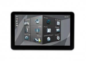
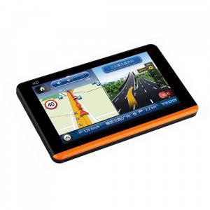
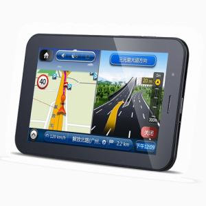
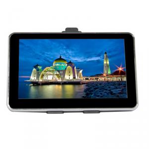
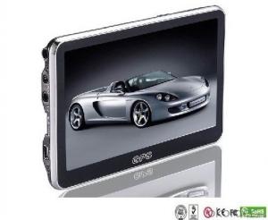
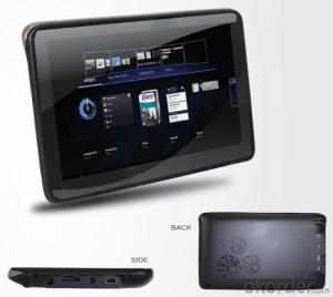
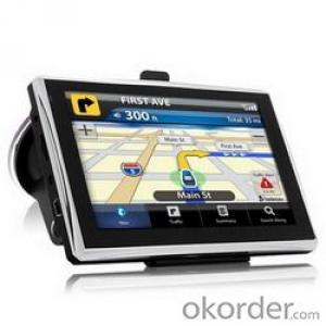
Portable 3.5 Inch Car GPS with Navigation Map
- Loading Port:
- China Main Port
- Payment Terms:
- TT OR LC
- Min Order Qty:
- -
- Supply Capability:
- -
OKorder Service Pledge
OKorder Financial Service
You Might Also Like
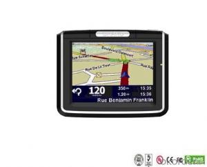
Portable 3.5 Inch Car GPS with Navigation Map
Specification
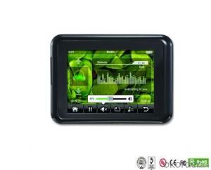
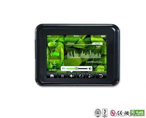
1. 3.5 inch TFT touch screen, solution: 320*240.
2. CPU: SAMSUNG S3 2416 400MHZ
3. Built-in 64MB SDROM
4. Operating system: WINCE.NET5.0
5. Storage: internal 128M Nand flash / external TF card
6. Types of operation methods: touch screen
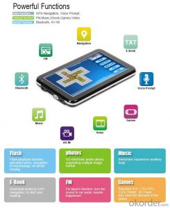
7. Functions: Navigation, MP3, MP4, JPG picture, textbook, calendar
8. Numbers of signal receiver: 20 Channels
9. Precision of Locating:Less than 10m
10. Antenna: with GPS internal Antenna and reserved external GPS Antenna jack
11. Battery: built-in Li-ion battery
12. DC IN: 5V
13. IC: SIRF III
14.Bluetooth function(Optional)
15. with outside speaker
Our Advantages
1. Several years GPS manufacture experience with professional workers and professors.
2. R&D department, who can satisfy clients' demands on firmware and design, and technical supports. 3. SMT machine, GPS signal testing room, temperature and humidity cycling test machine, 12-hours burn-in testing for finish products, which ensure the high quality control.
4. A long term and reliable business relationship with our parts suppliers, who can give us priority on quality and delivery.
5. A Service-oriented sales team. Customer care is our top priority.
Quality Policy
1. Technic innovation, first high quality, and the uppermost client
Based on its "Customer First" focus, innovate continuously, to satisfy and exceed the customers' requirement.
2. Execute fully Quality System
Adhering the "Quality First" principle, satisfying all theclients and company members' need, and achieving the long time successful management.
3. Continuous reformation, self-improvement
Do analysis internal to improve quality management. Improve continuously, to meet customer's need.
- Q: Civilian GPS accuracy in 10 meters or so, how to achieve accurate positioning navigation? Is the signal received by the GPS sent by satellite or sent from other places? If it were sent by satellite, what's the difference between the GPS on the car and the handheld GPS? Is it authorized?Please explain!
- The GPS satellite signal receiving chip, it can signal through the antenna and receive a plurality of GPS satellites broadcast, through the analysis of the signal will be able to know the distance between the car and the satellite, and know the exact position of the satellite in the center of the earth. Through complex calculation, you will know your position and time. Then you can find the location on the map and plan the way to the destination.
- Q: Car GPS navigator, which brand is better?
- That is to find a special export brand, and recommend to you "INNVO" this brand, the main export
- Q: I bought a 2 NISSAN Teana, car DVD is converted up (no brand. With GPS navigation,...). Friends DVD's memory card to help download songs, the inside of the mess of documents are deleted, and now the navigation can not be used (there is navigation on the screen, but the press did not react, touch screen). I would like to ask you, what is the program deleted, or deleted the map, if you delete what should I do? Please explain it, thank you!
- In the first system settings where to find the set of navigation path with a look at the memory there is no map, it is available to set the path, if not is to map out, need to copy into the map, copy the path into the future to set the navigation file. Very simple
- Q: Open navigation interface, there is no map display, there is a satellite, that is, the light shows their own arrows, the other blank
- May be SD card or card software, a problem, the general GPS has a reset hole (reset), first with a pencil like the kind of poke, reset it, try, if not look at instructions.
- Q: Is the new Carnival special navigator, other functions can also be careless, GPS signal reception is poor, sometimes have to wait to receive ten minutes before, hoped the knowledgeable friends can instruct me. Thanks in advance.
- You don't put it in the right place, or there might be something wrong with the antenna. Better try it on the open ground. If the location is fast, try again in the car!If the signal is bad at once, go to the dealer for another one
- Q: Does vehicle navigation require traffic? Do you need money?
- Vehicle navigation system stored in the national map, electricity can be used, no need to flow, but the inside of the navigation map data is dead, the majority is updated once a year, not update will be lost (some road a year ago may now change to go somewhere else, now the house is displayed on the map, and here the road, which is very dangerous), so that the map to update, update the map some for a fee
Send your message to us
Portable 3.5 Inch Car GPS with Navigation Map
- Loading Port:
- China Main Port
- Payment Terms:
- TT OR LC
- Min Order Qty:
- -
- Supply Capability:
- -
OKorder Service Pledge
OKorder Financial Service
Similar products
Hot products
Hot Searches
Related keywords
