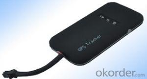
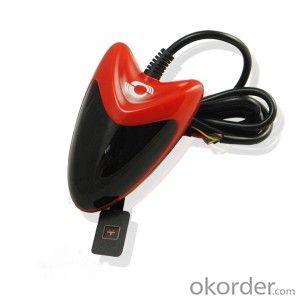
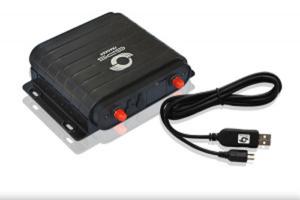
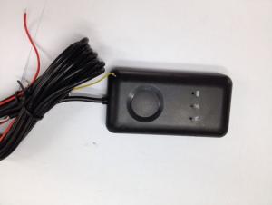
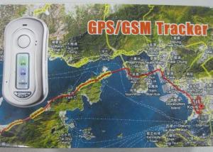
IP54 Vehicle GPS Tracker
- Loading Port:
- China Main Port
- Payment Terms:
- TT OR LC
- Min Order Qty:
- -
- Supply Capability:
- -
OKorder Service Pledge
OKorder Financial Service
You Might Also Like
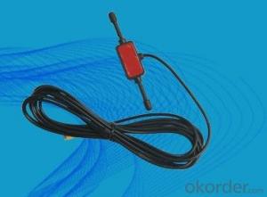
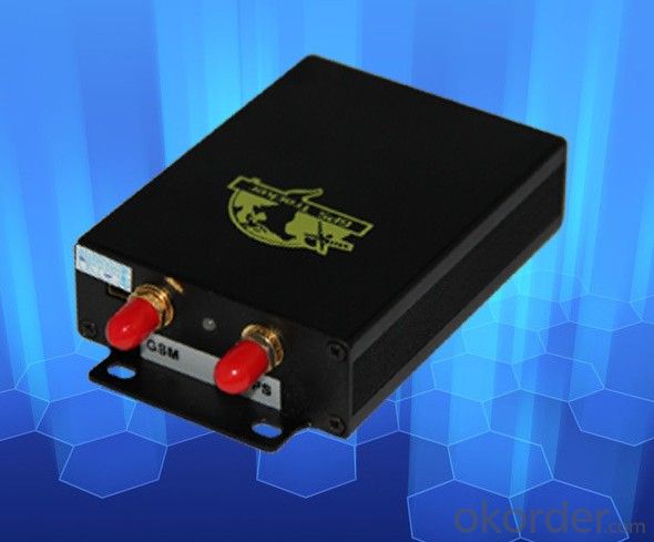
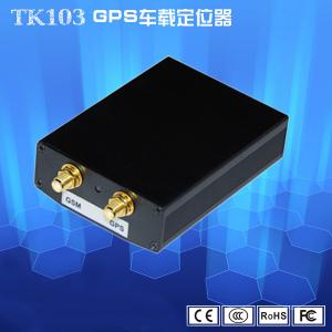
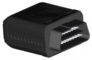
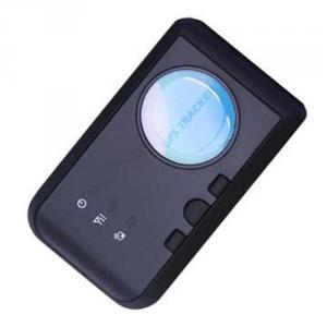
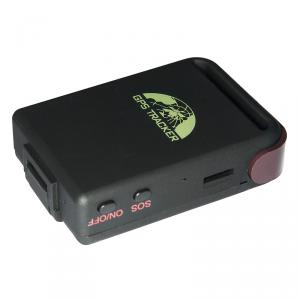
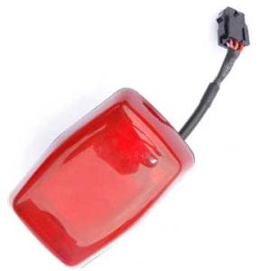
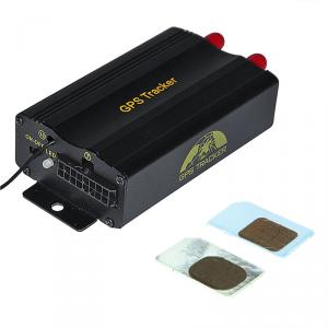
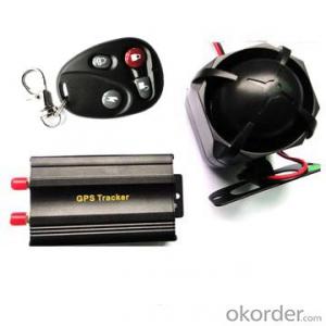
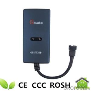
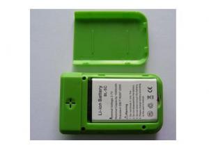
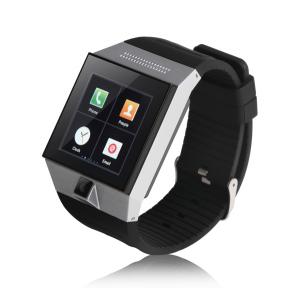
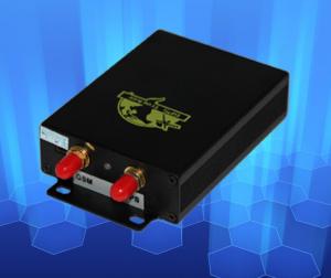
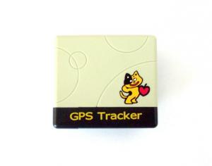
GPS Tracker,which set multiple functions of accurately positioning,security, monitoring surveillance, emergency alarms and tracking in its entirety,special for vehicle.
The product fully supports the functions of SMS / GPRS / Internet data transmission,to make it more widely used in large-scale monitoring, emergency scheduling, location-based services, traffic safety and many other areas of management.
Detailed description
It is based on GSM/GPRS(850/900/1800/1900MHZ)wireless telecommunication internet and GPS satillite global position system,track by multi tracking ways:
Basic functions:
1. GPS + Location based service(LBS)
2. Real time tracking via SMS or GPRS (TCP/UDP)
3. Track on demand by calling or sms comamnd
4. Show location directly on mobile phone with HTTP google map link
5. Track by time and distance interval
6. Five authorized phone number to protect tracker information and assets
7. Voice Surveillance
8. Easy switch for track or Monitor
9. Low battery alarm
10. Power off alarm
11. SOS button for emergency
12. Geo fencing control
13. Overspeed Alarm
14. Engine -cut and restore alarm by SMS GPRS
15. Door, windows alarm get by SMS
16. Movement alert sensor
17. Free GPRS tracking software send you in CD package
18. With direction and heading value
19. Optional shock/impact sensor
20. Abosolute street function
21. Smart track upon time and distance interval
22. Automatic update positions of vehicle turns
5.Specifications
Content | specifications |
DIM. | 83*54*26mm |
Weight | 120g |
Network | GSM/GPRS |
Band | 850/900/1800/1900Mhz |
GPS Sensitivity | -159dBm |
GPS Accuracy | 5m |
GPS Start time | Cold status 45s Warm status 35s Hot status 1s |
Voltage of car power system | 12 V -24V
|
Backup battery | Chargeable 3.7V 800mAh Li-ion battery |
Storage Temp. | -40°C to +85°C |
Operation Temp. | -20°C to +65°C |
Humidity | 5%--95% non-condensing |
- Q: GPS locator really can be used for car theft
- After stealing the car, the car will be stolen using the GPS detector for removal, in accordance with the current technology, as long as the locator, the installation of how hidden are at a glance.
- Q: How to detect whether the car installed jgps locator
- However, some of the locator is a sleep function, that is, the vehicle will remain dormant for more than five minutes, it is tantamount to death, it can not find any signal.
- Q: GPS positioning is how to get offline
- 3, positioning the phone card arrears, or change the phone card package, Internet access is disabled.Details of the mobile phone operator consulting card (example: Mobile: 10086, China Unicom: 10010), consulting mobile phone card is not arrears, there is no open Internet access, Internet features have not come into effect, the package has not been changed. If it is a mobile phone card, be sure to open GPRS, access point must be cmnet.Mobile communication.
- Q: What are the mainstream GPS locators? How to choose?
- 1, many brands on the market yet, the best selection of brands. In 2, I and my friends around the grain safety installation car locator, real-time positioning, track playback etc.
- Q: European GPS locator customer service phone
- My device IMEI number forgot? Can you help me find it
- Q: What is the meaning of the GPS locator LBS?
- Location based service, by means of radio communication network or external positioning mobile telecommunications operator, to obtain location information of a mobile terminal user, supported by the GIS platform, a value-added service to provide the corresponding service for the user.
- Q: TwentySuch as the title, if you can about how much money, how to use? Within four days of the home was stolen four electric cars, it is no way to take those!
- Electric vehicle can install positioner, Beidou 360 electric vehicle anti-theft positioner is the main use of the Beidou satellite positioning system, real-time tracking, history inquiry, electronic fence, remote power and other functions.GPS locator is built-in GPS terminal module and a mobile communication module, GPS module for positioning data obtained through the mobile communication module (gsm/gprs network) to a Internet server, which can realize the query terminal position on the computer. Refer to
- Q: After the phone off the GPS service, but also be tracked?
- If the mobile phone when the hand closed the GPS service, can be traced to? The answer is yes, but also needs some conditions.The principle is: one of the GPS mobile phone only realize the function of positioning technology, but also through the communication base station, Wi-Fi hotspot to mobile phone positioning. The localization technique is used most in all kinds of mobile phone positioning software is GPS positioning technology and base station positioning.
- Q: Function and application of GPS locator
- (four) 1 in order to avoid the installation of equipment failure, one should try to avoid hidden; 2 and the emission source together, such as wireless burglar alarm, reversing radar, car and other communications equipment; 3 can be used to tie fixed, or wide sponge strong double-sided adhesive paste; 4 GSM antenna device and the GPS antenna should be installed to ensure the positive upward (sky). Bu implied condition GPS module SiRFStarIII to accept every two output position data, usually $GPRMC to streamline the data format, including latitude, longitude, speed (nodes), motion direction angle, year, month, minutes, seconds, milliseconds, positioning data is valid or invalid, and other important information. The statement is as follows: $GPRMC,,,,
- Q: Millet 2 how to turn on or off the tracking positioning system.
- Please enter the settings - all settings - location services, open the GPS positioning service to locate the phone.
Send your message to us
IP54 Vehicle GPS Tracker
- Loading Port:
- China Main Port
- Payment Terms:
- TT OR LC
- Min Order Qty:
- -
- Supply Capability:
- -
OKorder Service Pledge
OKorder Financial Service
Similar products
Hot products
Hot Searches
Related keywords
