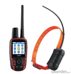
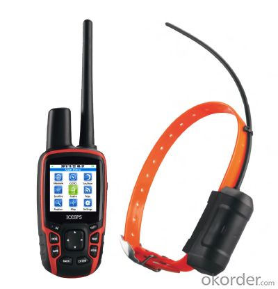
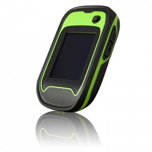
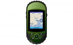
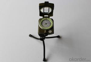
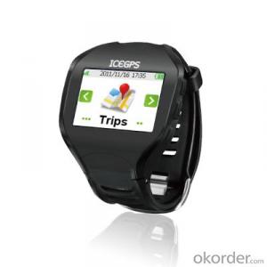
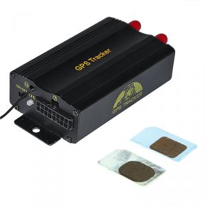
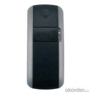
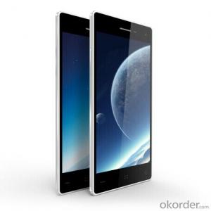
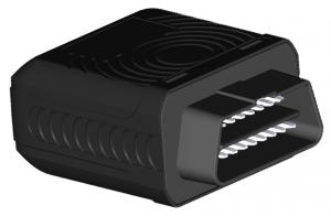
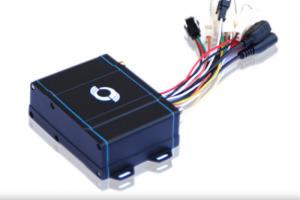
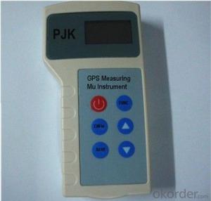
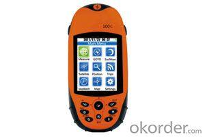
GPS Walkie Talkie
- Loading Port:
- China Main Port
- Payment Terms:
- TT OR LC
- Min Order Qty:
- -
- Supply Capability:
- -
OKorder Service Pledge
OKorder Financial Service
You Might Also Like
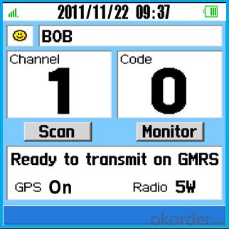
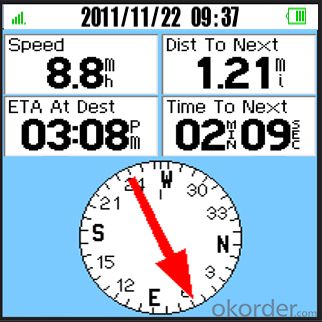
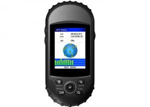
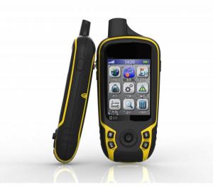
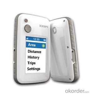
Features :
Voice call quality high,even if you are in a noisy envisy
environment
Position report, Send or receive GPS location,up to
10miles
Rechargeable lithium-ion battery provides up to 20
hours of outdoor use
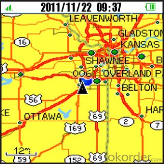
Google offline raster maps, road map, topo map and
satellite images.
Bold color display makes it easy to see and navigate
to family or friends at an amusement park, lake or
other outdoor group activity.
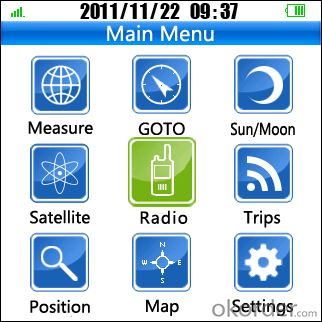
Sun and Moon: Sunrise, sunset, moonrise, moonset
and moon phases
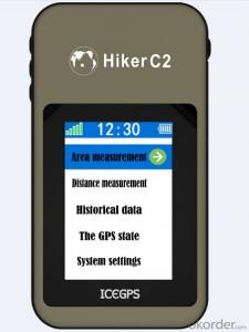
Area measurement: Measure the area and show the
shape of any shape including lakes, grasslands,
pastures farmland, orchards, etc
Fast USB computer connection and 2GB of internal
memory for rapid download maps.
Touch screen, multi touch and gesture
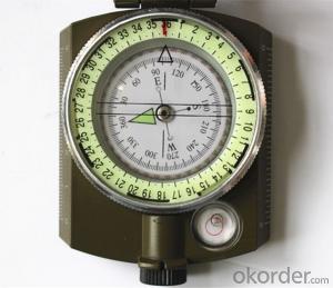
Optional e-Compass, G-sensor, and barometer.
- Q: How to deal with the mutual interference between the recorder and GPS navigation
- The navigation of the GPS module to stay away, do not rely on the power cord of the recorder can be
- Q: Portable vehicle navigator often show how the lack of electricity?
- 3, the battery has a certain life, so a lot of portable car navigation is filled with a car, while using, while charging4, often moving and plug it, check the power socket and a cigarette lighter plug is not some loose, when there will be charging navigation lights up; if the wire has a problem, you can buy a cheaper, if it is, Jack, enlarge the maintenance fee
- Q: Kelid 2011 version of how to upgrade?
- However, there are risks, it is recommended that you can install the navigation upgrade, the cost of about 50 yuan, hoping to help you
- Q: What brand of portable navigator
- Portable map updates slow and upgrade maps also charges.
- Q: Would like to buy a portable navigator, we hope to recommend a cost-effective and easy to use, preferably with electronic dog. Please specify the brand model, about the price. Also want to ask what kind of portable navigation map easy to use? Oil online forum, car maintenance professional website user name operation time to view all
- In addition to try before you buy the best interface and operation navigation software is for you. Otherwise it is possible to buy back sulking. For example, Tomtom is a famous navigator in foreign countries. In Sydney used is deserved. But at home a lot of people do not necessarily meet the map and navigation. So optimistic about what after the best try, to see if their own. Kay map is basically recognized as easy to use interface map. But the disadvantage is the small city and suburban map a serious shortage of resources.
- Q: How to upgrade their portable navigation Kay
- HelloThe portable CE system is generally WIN, according to your original Careland version number to upgrade, so that it is easy to succeed, otherwise it is very difficult to succeed. To upgrade the main program and map pack". What is your current Careland version?
- Q: There used to be a bad car, but that is too expensive, portable cheap, you know the heroes can introduce it? Thanks!!!
- I use a portable car navigation brand is a master Wang to help recommend cost-effective! With moving speed is also good!
- Q: What is portable navigation
- Can navigate. There is a problem with the car. 4S shop professional technicians, 10 minutes to solve. ]
- Q: Car portable navigation what brand is better
- Hello caska good but the price is more expensive
- Q: Portable navigator upgrade map, plug in the computer search hardware, how ah
- My experience is not very rich, the feeling seems to be socket or data line problem, you try to move the data line or a USB socket to see.I'm sorry I can't help you too much.
Send your message to us
GPS Walkie Talkie
- Loading Port:
- China Main Port
- Payment Terms:
- TT OR LC
- Min Order Qty:
- -
- Supply Capability:
- -
OKorder Service Pledge
OKorder Financial Service
Similar products
Hot products
Hot Searches
Related keywords
