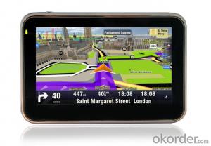
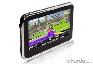
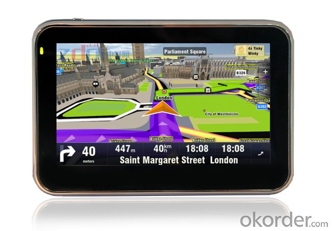
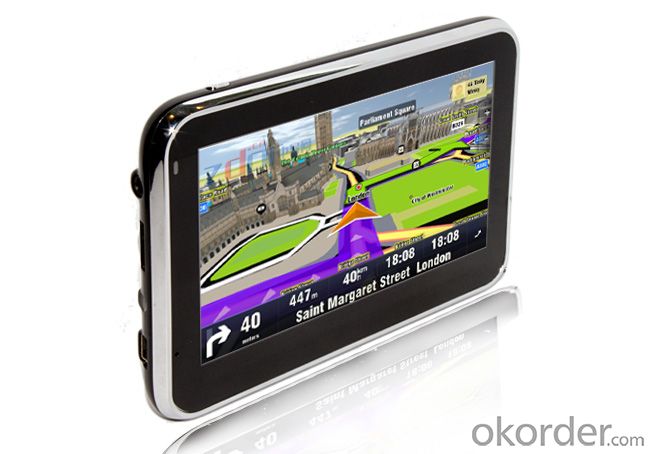
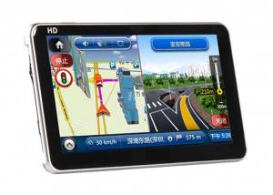
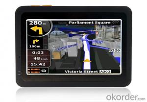
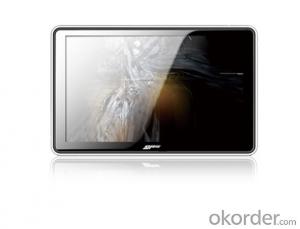
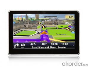
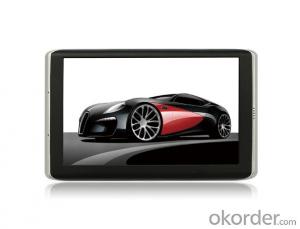
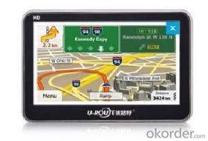
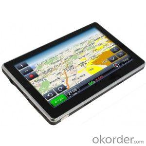
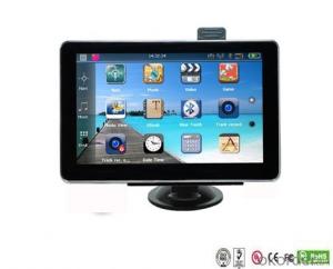
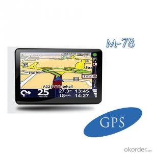
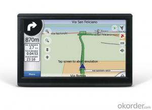
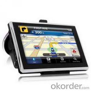
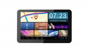
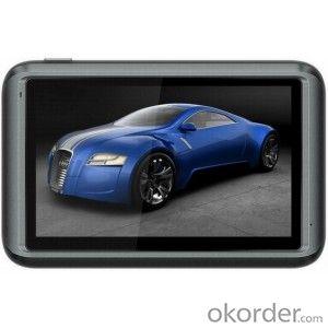
4.3 inch GPS Navigation System with 480*272 Pixels Resolution, AT550 600MHz CPU
- Loading Port:
- China main port
- Payment Terms:
- TT or LC
- Min Order Qty:
- 10 set
- Supply Capability:
- 500 set/month
OKorder Service Pledge
OKorder Financial Service
You Might Also Like
4.3 inch GPS Navigation System with 480*272 Pixels Resolution, AT550 600MHz CPU
Key Specifications
4.3 inch TFT touch screen,
solution:480*272(RGB),262K color
CPU:Centrality AT550 600MHz
OS:Win CE 6.0 SDRAM: 64M
Storage: internal 64M Nand flash / external TF card/Built-in 64MB SDRAM
Functions: Navigation, JPG picture,E-Book
Support FM Transmitter /Bluetoot
Support WIFI(Optional)
Battery:950mAh
Support multi-languages:French, German,Spanish,Portuguese, Russian…etc
I/O Input Method touch Pen/Software Keyboard
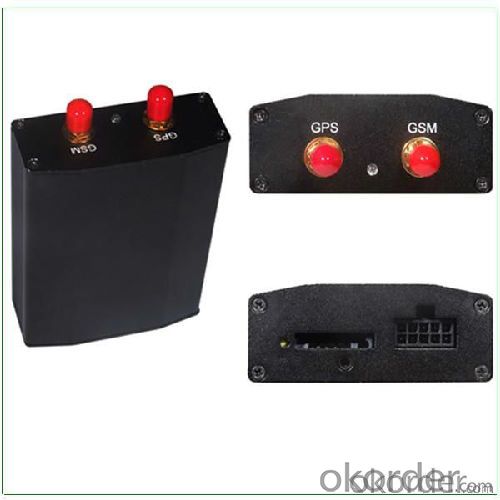
Strong R&D Capability
We have a professional R&D team which is experienced in OEM for international brands. We have introduced advanced technologies and production equipment at home and abroad to offer cost-effective products and services to our customers. Being innovative and energetic, we will keep improving our product quality with state-of-the-art technologies so that we can still be highly appreciated by our customers.
Quality Centered & Credit First
Product quality is the key to the survival and development of enterprises.We have been sticking to quality management/certification systems such as ISO9000,ISO14001,CE,3C and ROHS to control the quality of our products.We have built R&D center, design center, assembly plant, mould processing plant and can produce several million sets of products each year.We will keep integrating our resources and exploring our core competencies to provide our customers with best products and services.
FAQ:
Q: What kind of payments could you support?
A: T/T, L/C, Cash are accepted.
Q: Do you charge for the samples?
A: Accordeing to our company policy, the samples are freee, we only charge the freight fee. And we will return the freight fee during the next order.
Q: Can you produce according to customers' design?
A: Sure, we are professional manufacturer, OEM and ODM are both welcome.
- Q: Civilian GPS accuracy in 10 meters or so, how to achieve accurate positioning navigation? Is the signal received by the GPS sent by satellite or sent from other places? If it were sent by satellite, what's the difference between the GPS on the car and the handheld GPS? Is it authorized?Please explain!
- The GPS satellite signal receiving chip, it can signal through the antenna and receive a plurality of GPS satellites broadcast, through the analysis of the signal will be able to know the distance between the car and the satellite, and know the exact position of the satellite in the center of the earth. Through complex calculation, you will know your position and time. Then you can find the location on the map and plan the way to the destination.
- Q: Car GPS navigator, which brand is better?
- That is to find a special export brand, and recommend to you "INNVO" this brand, the main export
- Q: I bought a 2 NISSAN Teana, car DVD is converted up (no brand. With GPS navigation,...). Friends DVD's memory card to help download songs, the inside of the mess of documents are deleted, and now the navigation can not be used (there is navigation on the screen, but the press did not react, touch screen). I would like to ask you, what is the program deleted, or deleted the map, if you delete what should I do? Please explain it, thank you!
- Upstairs is correct, ha ha.Careland map folder: NaviOneCityonmap map folder: CJTRoad map folder: RatiYou insert your memory card into your computer to see if there are any map folders in it. No, you need to reinstall it.
- Q: Open navigation interface, there is no map display, there is a satellite, that is, the light shows their own arrows, the other blank
- GPS vehicle navigation system which ah, settimio. The map is not piracy, suggest or buy brands, such as: China, Huayang what caska, Philco. These brands are very good, the national market doing well, quality is good, service is also very good.
- Q: Is the new Carnival special navigator, other functions can also be careless, GPS signal reception is poor, sometimes have to wait to receive ten minutes before, hoped the knowledgeable friends can instruct me. Thanks in advance.
- You don't put it in the right place, or there might be something wrong with the antenna. Better try it on the open ground. If the location is fast, try again in the car!If the signal is bad at once, go to the dealer for another one
- Q: Does vehicle navigation require traffic? Do you need money?
- Not all free upgrades, when the money
Send your message to us
4.3 inch GPS Navigation System with 480*272 Pixels Resolution, AT550 600MHz CPU
- Loading Port:
- China main port
- Payment Terms:
- TT or LC
- Min Order Qty:
- 10 set
- Supply Capability:
- 500 set/month
OKorder Service Pledge
OKorder Financial Service
Similar products
Hot products
Hot Searches
Related keywords
